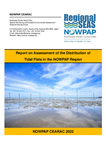
| dc.description | While seagrass/seaweed beds are a significant habitat in water in the NOWPAP region, tidal flats and salt marshes are significant on land, both serving important, irreplaceable roles in marine biodiversity conservation. In the coastal areas of NOWPAP member states, wide tidal flats areas are distributed and provide ecosystem services to human and marine species. Due to coastal
development, however, these precious habitats have lost area over the past several decades. It is necessary to understand the negative impacts in the past and to protect/restore the remaining tidal flats/salt marshes for the future. The CEARAC Secretariat therefore proposed a new project, the “Assessment of the distribution of tidal flats and salt marshes in the NOWPAP region,” at the 17th CEARAC FPM in 2018, and it was approved by CEARAC FPs.
The objective of this project is to understand the current status of and historical changes in tidal flats/salt marshes in the NOWPAP region by mapping the past and current tidal flats/salt marshes using remote sensing images. Unfortunately, as available data on salt marshes in the NOWPAP regions of the member states remains quite limited, tidal flats are the main target habitat in this project. | en_US |


